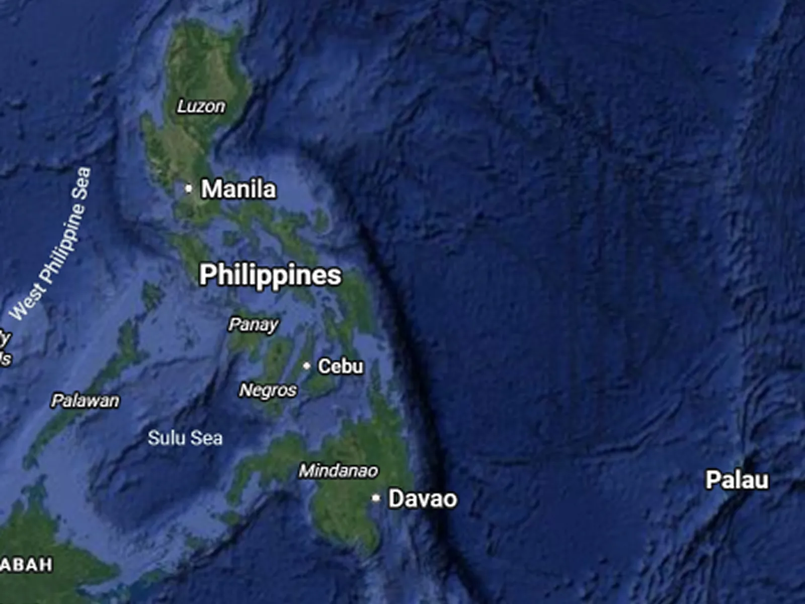
The Philippines is surrounded by three major bodies of water: the Philippine Sea to the east, the West Philippine Sea to the west, and the Celebes Sea to the south. As an archipelago of 7,641 islands, it has no inland point more than 120 kilometers from the coast, which means its identity, food supply, economy, and geopolitics are inseparable from the water that surrounds it.
This article covers every major category: the surrounding seas, inland lakes, river systems, the deepest trenches, and the contested maritime zones that shape both daily life and international headlines.
The Major Seas Surrounding the Philippines
Philippine Archipelago · All Regions
Seven distinct seas border or lie within the Philippine archipelago. Each has a different ecological profile, strategic importance, and relationship with the communities that depend on it. The two dominant enclosing bodies at the broadest level are the Pacific Ocean to the east and the South China Sea to the west, bracketing the entire archipelago from opposite sides.
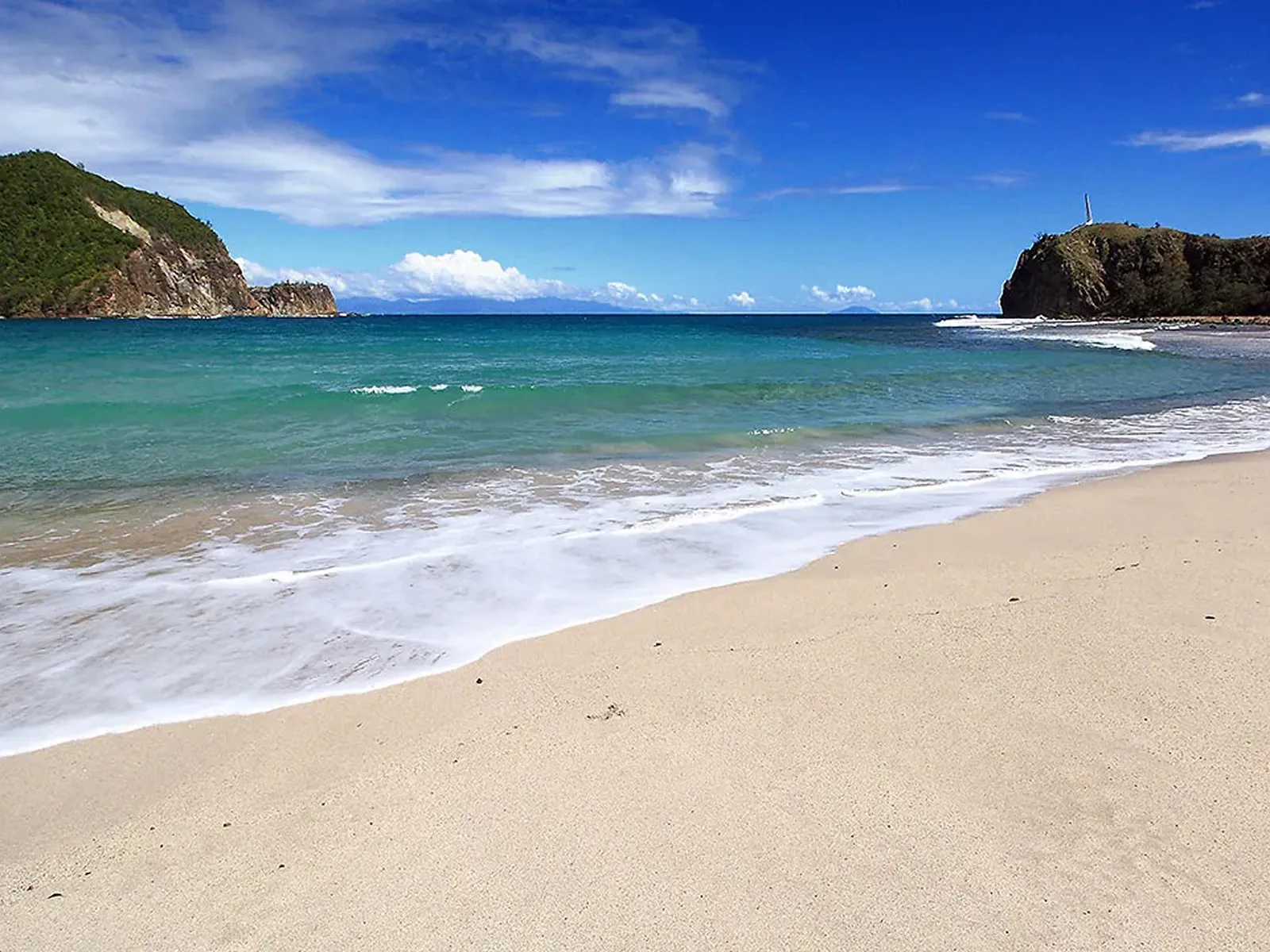
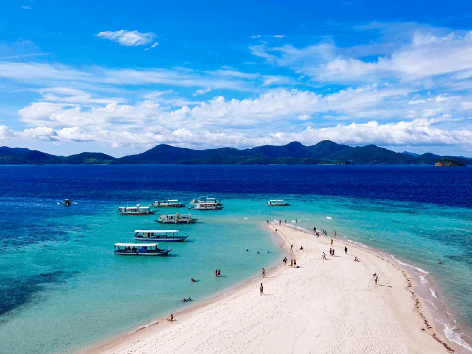
The Philippine Sea, bordering the Pacific-facing provinces of Aurora, Quezon, and Eastern Samar, is the deepest of the adjacent seas and home to the Philippine Trench. The Sulu Sea lies between Palawan, the Visayas, and Mindanao, sitting within the Coral Triangle and connecting to the Celebes Sea through the Sibutu Passage. The Celebes Sea borders southern Mindanao and connects the Philippines to Indonesia and Malaysia.
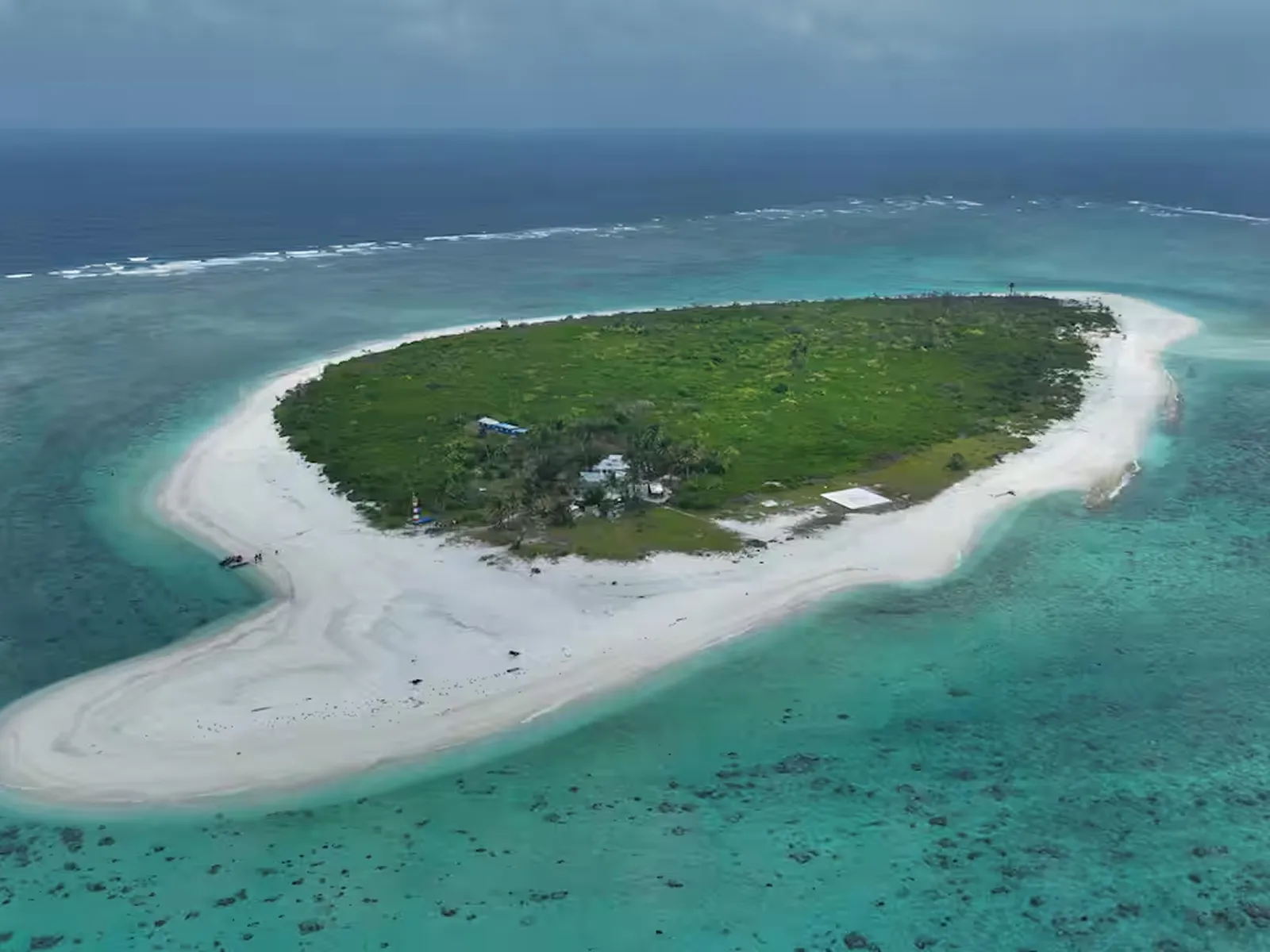
The interior seas tell their own story. The Sibuyan Sea sits at the geographic center of the archipelago, bounded by Luzon, Marinduque, Romblon, Panay, and Masbate. The Visayan Sea lies north of Cebu and Negros and is among the most heavily fished bodies of water in the country. The Camotes Sea between Cebu, Leyte, and Bohol functions as a sub-basin of the greater Visayan system.

azifind.com Travel
Philippine Geography Overview
Philippine Seas · All Regions 🌐
The Philippine Sea stretches east of Luzon toward the open Pacific. No land between here and the Mariana Islands.
azifind.com Travel
Philippine Geography Overview
Philippine Seas · All Regions 🌐
The Sulu Sea sits inside the Coral Triangle, one of the most biologically rich bodies of water on the planet.
azifind.com Travel
Philippine Geography Overview
Philippine Seas · All Regions 🌐
The Sibuyan Sea at the geographic center of the archipelago. Six provinces meet its shores.
The West Philippine Sea
Western Philippines · Palawan, Zambales, Mindanao
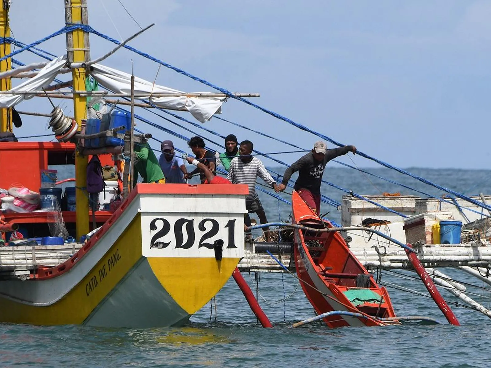
The West Philippine Sea is the name the Philippine government uses for the portions of the South China Sea that fall within the country's 200-nautical-mile exclusive economic zone under the United Nations Convention on the Law of the Sea (UNCLOS). It is not simply a body of water. It is the primary maritime economic zone through which Philippine fishermen operate, and through which a significant portion of global maritime trade passes.
The 2016 arbitral ruling by the Permanent Court of Arbitration affirmed that the Philippines has sovereign rights over resources within its EEZ and that China's nine-dash line claim has no basis under international law. The ruling did not resolve the territorial dispute, but it established the legal framework that shapes how the international community interprets the overlapping claims.
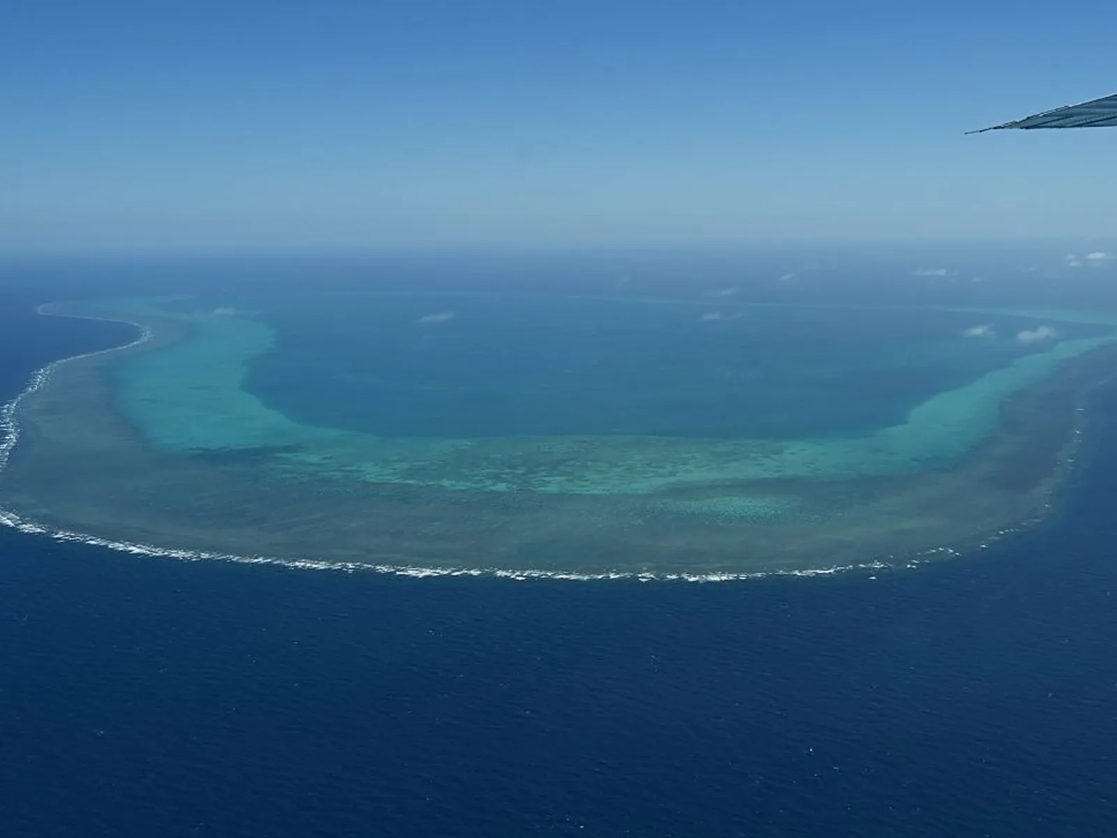
The Spratlys, the Scarborough Shoal, and the waters around Palawan are all within this contested zone. For fishing communities in Zambales, Palawan, and western Mindanao, these are not abstract geopolitical arguments. They are the waters where their livelihood either exists or is blocked depending on who controls the week's patrols.
azifind.com Travel
Philippine Geography Guide
West Philippine Sea · Western Philippines 🌐
These waters feed thousands of fishing families. The geopolitics here are not abstract.
azifind.com Travel
Philippine Geography Guide
West Philippine Sea · Western Philippines 🌐
Scarborough Shoal, one of the most contested points within the Philippine EEZ.
azifind.com Travel
Philippine Geography Guide
West Philippine Sea · Western Philippines 🌐
The same waters where UNCLOS gives Filipino fishermen the right to operate.
The Philippine Trench
Eastern Mindanao · Philippine Sea
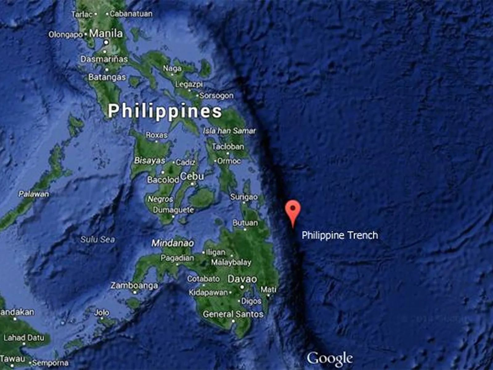
The Philippine Trench, also called the Mindanao Trench or Mindanao Deep, is the deepest body of water in the Philippines and the third deepest oceanic trench on Earth. It plunges to approximately 10,540 meters below sea level along the eastern coast of Mindanao, formed by the subduction of the Philippine Sea Plate beneath the Philippine Mobile Belt.
To put that depth in context: if you dropped Mount Apo, the highest peak in the Philippines at 2,954 meters, into the trench, it would disappear under nearly 7.5 kilometers of water. The trench is largely unexplored at its deepest reaches, with conditions of complete darkness, crushing pressure, and temperatures close to freezing that make sustained scientific study difficult without specialized deep-sea vehicles.
The tectonic activity that created the trench is also the same force that drives Philippine volcanic activity and makes the eastern coastlines of Samar and Davao some of the most seismically monitored stretches of coastline in Southeast Asia.
azifind.com Travel
Philippine Geography Overview
Philippine Trench · Eastern Mindanao 🌐
The trench runs the full length of eastern Mindanao. Third deepest on Earth at 10,540 meters.
azifind.com Travel
Philippine Geography Overview
Philippine Trench · Eastern Mindanao 🌐
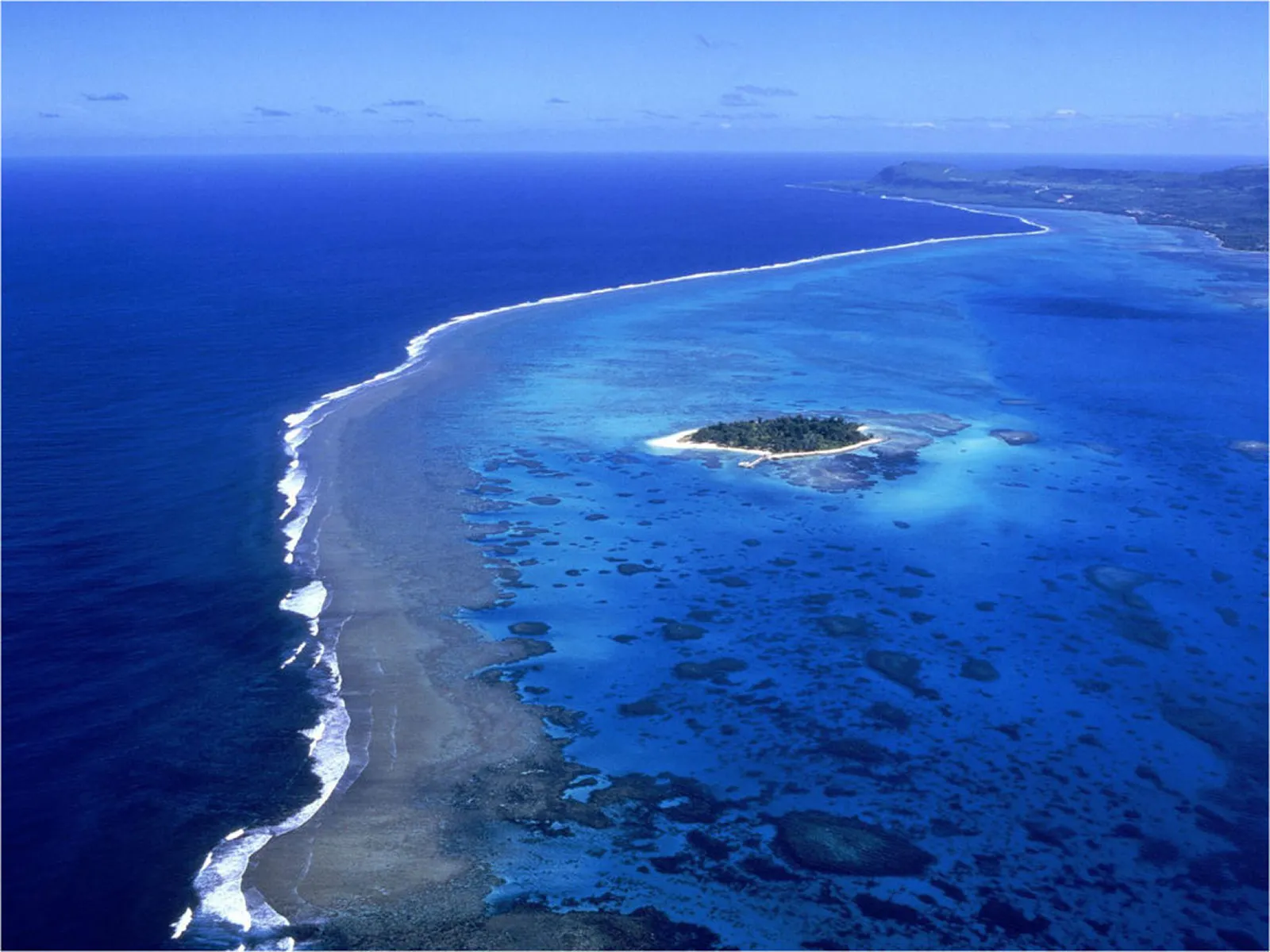
The same subduction zone that created the trench drives Philippine volcanic activity.
azifind.com Travel
Philippine Geography Overview
Philippine Trench · Eastern Mindanao 🌐
Above one of the planet's deepest points. The eastern Mindanao coast sits over an abyss.
Laguna de Bay
Laguna & Rizal · Largest Lake in the Philippines
Laguna de Bay is the largest lake in the Philippines and the third largest in Southeast Asia, covering approximately 911 square kilometers southeast of Metro Manila. It straddles the provinces of Laguna and Rizal and drains into Manila Bay through the Pasig River, making it the natural reservoir that defines the hydrology of the entire southern Metro Manila region.
Despite its area, the lake averages only about 2.5 meters in depth, which makes it highly productive for aquaculture but also exceptionally vulnerable. Fishpens and fish cages cover a significant portion of the lake surface, producing milkfish and tilapia that supply Metro Manila's markets. Floods, however, routinely submerge lakeside communities when typhoon-driven rainfall pushes water levels beyond the lake's shallow banks.
Rehabilitation has been a recurring policy goal since the 1990s. Water quality fluctuates significantly across seasons and across the lake's different bays, with the Laguna province shoreline generally cleaner than the sections bordering heavily urbanized Rizal municipalities.
azifind.com Travel
Philippine Geography Overview
Laguna de Bay · Laguna / Rizal 🌐
The trench runs the full length of eastern Mindanao. Third deepest on Earth at 10,540 meters.
azifind.com Travel
Philippine Geography Overview
Laguna de Bay · Laguna / Rizal 🌐
The same subduction zone that created the trench drives Philippine volcanic activity.
azifind.com Travel
Philippine Geography Overview
Laguna de Bay · Laguna / Rizal 🌐
Above one of the planet's deepest points. The eastern Mindanao coast sits over an abyss.
Taal Lake
Batangas · Third Largest Lake, Volcanic Caldera
Taal Lake occupies the caldera of the Taal Volcano system in Batangas, covering approximately 234 square kilometers. Its visual drama comes from its configuration: a lake containing Volcano Island, which itself contains a crater lake. This lake-within-an-island-within-a-lake arrangement makes it one of the most photographed inland water bodies in the Philippines.
The lake has no sharks. It is a landlocked volcanic basin with freshwater-dominant chemistry, and no shark species has ever been documented there. What it does contain is stranger: Hydrophis semperi, the Taal Lake sea snake, an endemic freshwater sea snake found nowhere else on Earth. It evolved from a marine ancestor that became isolated in the lake as the caldera separated from the sea over geologic time. The species is venomous but is not considered aggressive toward humans under normal conditions.
Taal Volcano remains one of the most active volcanoes in the Philippines. The January 2020 eruption produced a phreatomagmatic eruption column that reached 15 kilometers into the atmosphere, depositing ash across Batangas, Cavite, and Metro Manila, and forcing the evacuation of lakeside communities.
azifind.com Travel
Philippine Geography Overview
Taal Lake · Batangas 🌐
The trench runs the full length of eastern Mindanao. Third deepest on Earth at 10,540 meters.
azifind.com Travel
Philippine Geography Overview
Taal Lake · Batangas 🌐
The same subduction zone that created the trench drives Philippine volcanic activity.
azifind.com Travel
Philippine Geography Overview
Taal Lake · Batangas 🌐
Above one of the planet's deepest points. The eastern Mindanao coast sits over an abyss.
Cagayan River
Cagayan Valley · Longest River in the Philippines
The Cagayan River in northern Luzon is the longest river in the Philippines at approximately 505 kilometers. It drains the Cagayan Valley, the largest river basin in the country, bounded by the Cordillera Central to the west and the Sierra Madre mountain range to the east, and empties into the Babuyan Channel at Aparri, Cagayan.
The river and its basin produce a significant share of the country's rice and corn supply. The flatness of the Cagayan Valley, formed by centuries of alluvial deposition from the river and its tributaries, gives Cagayan province some of the most agriculturally productive land in Luzon. Flooding is a recurring challenge during typhoon season, when the river rises rapidly and inundates low-lying farm areas across the valley floor.
The Peñablanca Protected Landscape, a UNESCO-recognized karst formation along the river's middle course, contains one of the largest cave systems in Asia, including the Callao Cave where some of the oldest human remains in the Philippines, attributed to Homo luzonensis, were found in 2019.
azifind.com Travel
Philippine Geography Overview
Cagayan River · Cagayan Valley 🌐
The trench runs the full length of eastern Mindanao. Third deepest on Earth at 10,540 meters.
azifind.com Travel
Philippine Geography Overview
Cagayan River · Cagayan Valley 🌐
The same subduction zone that created the trench drives Philippine volcanic activity.
azifind.com Travel
Philippine Geography Overview
Cagayan River · Cagayan Valley 🌐
Above one of the planet's deepest points. The eastern Mindanao coast sits over an abyss.
Pasig River
Metro Manila · Most Famous River in the Philippines
The Pasig River is the most historically significant river in the Philippines. Running approximately 25 kilometers between Laguna de Bay and Manila Bay, it served as the commercial and cultural artery of colonial Manila for four centuries. Spanish galleons docked along its banks. Trading houses lined its shoreline. The entire economy of old Manila was organized around access to it.
By the 1990s, decades of uncontrolled dumping, informal settlements along the riverbanks, and industrial discharge had rendered it biologically dead. Fish could no longer survive in it. The river was classified as one of the most polluted urban waterways in Asia.
The ongoing rehabilitation under the Pasig River Rehabilitation Commission has produced measurable improvement in dissolved oxygen levels and reduced coliform counts in some stretches. Ferry services have resumed, and some sections near Manila now show early signs of aquatic life returning. It remains a work in progress, but it is the most visible urban river rehabilitation story in Philippine history.
azifind.com Travel
Philippine Geography Overview
Pasig River · Metro Manila 🌐
The trench runs the full length of eastern Mindanao. Third deepest on Earth at 10,540 meters.
azifind.com Travel
Philippine Geography Overview
Pasig River · Metro Manila 🌐
The same subduction zone that created the trench drives Philippine volcanic activity.
azifind.com Travel
Philippine Geography Overview
Pasig River · Metro Manila 🌐
Above one of the planet's deepest points. The eastern Mindanao coast sits over an abyss.
Puerto Princesa Subterranean River
Puerto Princesa, Palawan · Clearest Underground River
The Puerto Princesa Subterranean River in Palawan is an 8.2-kilometer navigable underground river that flows through a karst limestone mountain directly into the South China Sea, a UNESCO World Heritage Site since 1999 and one of the New Seven Wonders of Nature. It is the clearest major river system in the Philippines, fed entirely by filtered groundwater percolating through the limestone and emerging with remarkable water clarity and no surface runoff contamination.
Paddle boats take visitors about 4.5 kilometers into the cave before the passage narrows, revealing cathedral chambers, massive stalactites, and bat colonies numbering in the hundreds of thousands overhead. The sound inside is layered: the drip of water, the flutter of wings, and the occasional groan of limestone settling above the waterline.
The river opens directly to the sea at its northern end, making it one of the few places in the Philippines where a river mouth, a cave system, a karst forest, and a reef system exist within walking distance of each other.
azifind.com Travel
Philippine Geography Overview
Underground River · Puerto Princesa, Palawan 🌐
The trench runs the full length of eastern Mindanao. Third deepest on Earth at 10,540 meters.
azifind.com Travel
Philippine Geography Overview
Underground River · Puerto Princesa, Palawan 🌐
The same subduction zone that created the trench drives Philippine volcanic activity.
azifind.com Travel
Philippine Geography Overview
Underground River · Puerto Princesa, Palawan 🌐
Above one of the planet's deepest points. The eastern Mindanao coast sits over an abyss.
The Coral Triangle and Philippine Marine Biodiversity
Sulu Sea, Celebes Sea · Tubbataha Reef, Donsol, Coron
The Philippines sits at the apex of the Coral Triangle, a roughly triangular zone of the tropical Indo-Pacific that also includes Indonesia, Malaysia, Papua New Guinea, Solomon Islands, and Timor-Leste. The Coral Triangle contains roughly 76 percent of all known coral species and more than 3,000 species of reef fish. The Philippine portion of this zone, particularly the waters around Palawan, the Visayas, and Mindanao, represents the highest concentration of marine species diversity on the planet.
Tubbataha Reef Natural Park in the Sulu Sea is a UNESCO World Heritage Site spanning approximately 97,000 hectares of open ocean, one of the most intact atolls in the region and a critical spawning ground for tuna, manta rays, and multiple shark species. Great white sharks are not part of this ecosystem. What the Philippines is known for instead is whale shark aggregations, with Donsol in Sorsogon hosting documented gatherings from November through June.
Kayangan Lake in Coron, Palawan, fed by underground freshwater springs through a limestone enclosure, is widely rated among the cleanest lakes in Asia, with water clarity that reflects the larger story of what the Philippine marine environment looks like where it has been least disturbed.
azifind.com Travel
Philippine Geography Overview
Coral Triangle · Philippine Seas 🌐
The trench runs the full length of eastern Mindanao. Third deepest on Earth at 10,540 meters.
azifind.com Travel
Philippine Geography Overview
Coral Triangle · Philippine Seas 🌐
The same subduction zone that created the trench drives Philippine volcanic activity.
azifind.com Travel
Philippine Geography Overview
Coral Triangle · Philippine Seas 🌐
Above one of the planet's deepest points. The eastern Mindanao coast sits over an abyss.